
Commutes came to a standstill on Monday when water submerged the N12 highway between Klerksdorp and Potchefstroom. This wasn’t an anomaly; it was exactly what The South African Weather Service predicted days earlier. Starting mid-March, a dangerous convergence of atmospheric systems triggered a cascade of impact-based warnings across the nation, turning routine commutes into high-risk maneuvers for thousands of travelers.
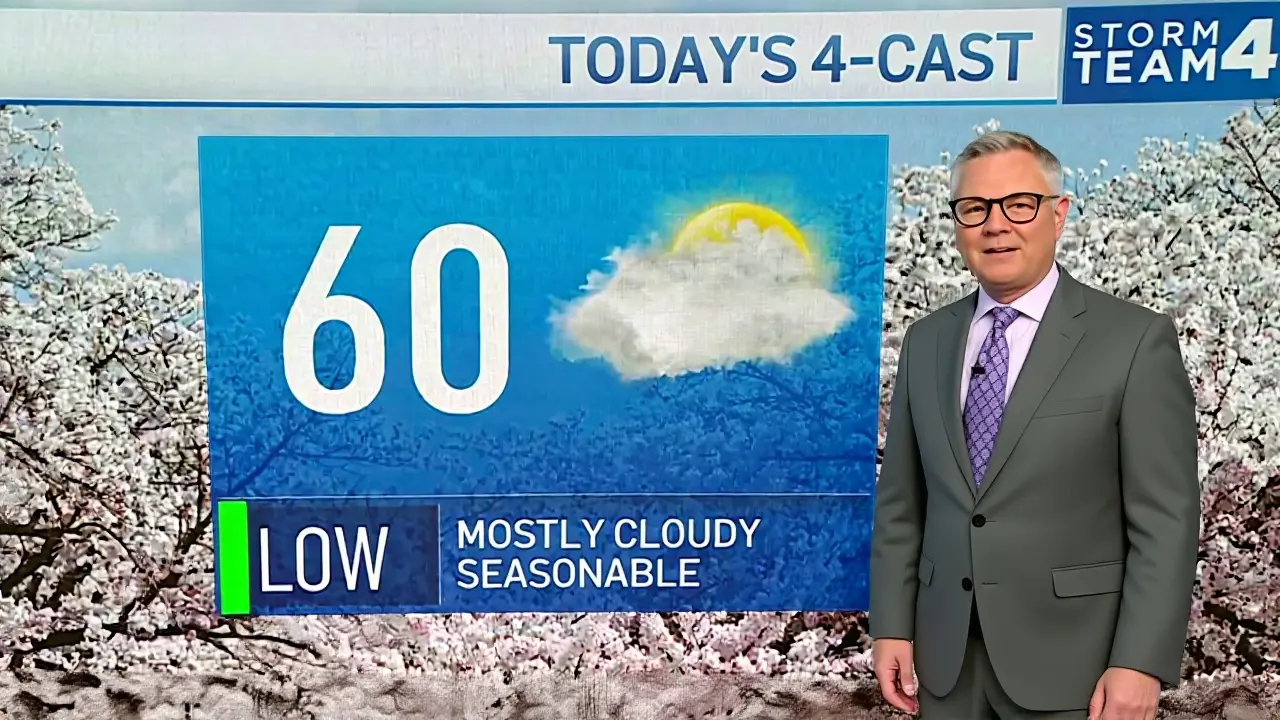
The alert began on March 18, 2026, covering vast stretches of the interior. By late week, those predictions had materialized into muddy roads, power outages, and localized devastation. Residents from the Highveld down to the coast received mixed messages of rain and fire risk—a volatile combination that kept emergency services on edge throughout the month.
The Escalating Warning Levels
While weather updates often get skimmed over, the color-coding here tells a specific story. On Wednesday, March 18, the forecast team flagged severe activity for five major provinces: Northern Cape, KwaZulu-Natal, Gauteng, Limpopo, and Mpumalanga. They weren't asking you to watch the sky; they were telling you to prepare for it.
The most critical update arrived on March 23. A Yellow Level 4 Warning was issued for eastern Mpumalanga and northern KwaZulu-Natal. For context, Level 4 indicates potential life-threatening situations due to rapid onset. It meant heavy downpours capable of swelling dry riverbeds instantly. Just south of there, a Level 2 warning covered central KwaZulu-Natal, the Southern Free State, and parts of the North West. These zones faced less extreme risk but still dealt with infrastructure damage.
By March 25, the storm cell shifted. The instability moved into the Northern Cape and Eastern Cape. The system behaved like a conveyor belt, dragging moisture from the Indian Ocean inland. It settled over areas that usually expect arid conditions, causing confusion among local communities who aren't accustomed to flash flooding events.
On-the-Ground Impact and Infrastructure Risks
Data from the ground confirmed the severity. In Meiringspoort, a landslide blocked transit routes after heavy saturation turned soil to slush. Meanwhile, commuters in Johannesburg and Kempton Park reported vehicle aquaplaning incidents on unpaved secondary roads. It turns out the "isolated" showers didn't stay isolated long.
Vox Weather picked up on the shifting patterns by Thursday, March 26. Their analysis suggested the trough deepening over the western interior would keep volatility high through the weekend. Specifically, the Western regions around Fort Smith and Gariep Dam saw Level 2 warnings remain active. This isn't just about wet t-shirts; it's about municipal drainage systems failing.
One overlooked danger involved informal settlements. Many structures lack reinforced roofing, meaning high winds—predicted at damaging speeds—can strip materials away entirely. Debris becomes airborne projectiles. Power lines sagging from ice or weight add another layer of risk for first responders attempting repairs during daylight hours.
Fire Danger Amidst the Rain
Here’s the twist that makes this weather pattern particularly tricky for land managers. While rain dominates the headlines, some pockets face the opposite threat. The Nama-Khoi municipality in the Northern Cape logged extremely high fire danger conditions. Why? Because before the rain arrives, the vegetation dries out significantly, especially during periods of strong gusting winds that precede the actual downpour.
In the Western Cape, specifically the Matzikama and Cederberg municipalities, similar alerts were in play. The friction from dry grass combined with lightning strikes creates a tinderbox scenario. Residents there found themselves watching two enemies at once: floodwaters in the valleys and fires creeping up the slopes. Emergency coordination became a logistical nightmare as departments had to switch gears rapidly depending on the neighborhood.
What to Watch Over the Weekend
Looking ahead past the 26th, the atmosphere won't stabilize quickly. Forecasts indicate scattered showers persisting across the interior. Foggy patches are likely to form in the Northwest during early mornings, reducing visibility to near zero for dawn drivers.
As the band of storms tracks southeast towards the Free State, vigilance remains key. A 30% chance of new thunderstorms suggests conditions will flip rapidly. If you're driving, check the road status before leaving your house. Even if the rain stops, flooded culverts hide beneath standing water, ready to sweep unexpecting cars downstream.
Frequently Asked Questions
What does a Yellow Level 4 Warning mean?
A Yellow Level 4 Warning signifies severe weather conditions that may cause serious injury or loss of life. During these alerts, authorities recommend avoiding travel and securing property against high winds and flash flooding.
Which roads are currently closed?
Reports confirmed blockages along the N12 highway between Klerksdorp and Potchefstroom. Additionally, access in Meiringspoort was restricted due to landslides. Real-time road closure maps should be consulted via SANRAL or local municipal channels.
How do I know if my area is at risk?
Check the specific district municipality listed in SAWS bulletins. Areas like the Karoo Hoogland District and specific Lowveld zones were explicitly named. Monitoring social media channels of local disaster management centers provides minute-to-minute updates.
Is fire danger actually real during rain?
Yes, pre-storm drying and strong preceding winds can ignite fires even if rain follows later. Lightning strikes in dry vegetation-heavy regions like the Nama-Khoi municipality pose a dual threat until moisture saturates the ground completely.

Jason Davis
March 26, 2026 AT 15:30The trough deepening over the western interior is acting exaclty like a classic cut-off low system. Usually these setups break down quickly but this one is maintaning its pressure gradient too well for comfort. You can see the moisture transport comin stright off the Indian Ocean in the latest satellite loops. That conveyor belt effect dragin humidity inland is dangrous for high plains areas specificaly. Most people unerstand how fast dry riverbeds can swell during rapid onset events like this. The Level 4 warning isn't somethin you ignore becasue it implies immidiate life threat. Seein landslides in Meiringspoort confirms the soil satruation reached critcal tipin points. Infrastructure dammage is inevitible when drainag systems werent built for this volume of water. It is unfortunate that informall settlemens lack reinforded roofin aganst these predict winds. Debris flyin aroun adds a whol new layr of danger for anyon tryin to driv throug. Fire danger existin alongside rain is the trickyst part land managnrs deal with everi year. Dry vegetatin ignites easiy before the downpour even saturatcs the ground fully. Coordination betwen departsment switchin from flood to fire mode is alws chatic under stres. Drives need to understan that flooded culverts hiden beneath standin water everywhare. Vigalance remans key until the atmospher stablizes past the wekend forecats.
Serena May
March 26, 2026 AT 23:49Flood levels risin faster than emergeny crews can mov their gear 😬💦🚑
Cheryl Jonah
March 28, 2026 AT 00:22They realy think we believ this is just randam weather paterns when the timin feels wau too suspiscious 🙄 Somtimis the dat gets twedk to hide who is realy behaind the energy shits. Peopel are asleep whil the infrastrucure gets tarqetted sytematical durin these alertz. I do nwt trus wtat the bulletins tel us abowut risk zoenes anymore. The dray paches apearin rite before the rain fels enginreed for control purpes mostly. It is eashy to blaim natur whan human haneds are pullin string frum the shadowz.
Sarah Day
March 29, 2026 AT 14:56I get why thinfs feel scary whn the news keeps chagin everi da. Stayin inform helpes comunites prepair better for the unexpexted shifs. Sharin accuratt mapss savies lifes when peopl know wiere the safe zosnes are located. Worrkin togither makis handlin these storm much eather than figthing aloon. Hope everyun staays dry and findes solied shelber befor the heavy wids hit.
Jullien Marie Plantinos
March 30, 2026 AT 12:27Why is everyone so worrier about roas closen in another contry whn ouwr own coteis are drowing in incomppetence!!! The N12 blockage is bad news but honestly it pails compered to systmeic faiures statesside!!! You see theese color-coded warnins flashen everware yet nobod learns anythign from theem!!! Preparaion is ignor until proerty gets wipeed offf the map compeltely!!! We neeed stricker accountbilitty insted of hoping for betetr forcst next mont!!! Emergency servicess heere are overlwamed whle we watch videoss of distent diasters onlien!!! Stop focussing on the fie r dangerrs oversea ad look at yuor owne backyard problms!!! Safety protocals exsist to save lves but politians keep cuttint budgts for theem!!!
Anthony Watkins
March 30, 2026 AT 19:42Most pepple dun listen untill they loose evrythinng they wurk for. Strong bordars mattter more than wether reports in muh book. We shuld protect our oane citzens firt insted of worryin about foreing floods. Good peopl buld stron homs that wond cannott teaur apat esily.
Crystal Zárifa
March 31, 2026 AT 00:06Nothign say fun lik watcin a higway turn intio a bathtup for commters. Motther Natuer decidd she waants a biger audince for hur dram tonight. Gues we all jsut sit bak and hope the insurace adjustrs arive tomrow.
Jane Roams Free
April 1, 2026 AT 01:36The resilience shwn by resients in Gauteng and KwazuNaatla desres recognision. Localeaders wok tirelessy to ssecur vulnreble populatins during theese voltil winows. Cultrul undrstang of land mangmt plsy a hug rol in survivel rates her. Suppotring communi netwrks ensurs no familly gets lft behine durin evacutaion ordrs. Neighbor heling neighbor is the oldes form of wether defenc stratagy availbel.
ryan pereyra
April 1, 2026 AT 16:12Your emojy uadge travliaes the hydrauc complxity we are witensing rigth now. The hydroligc modling suggets crticl mass dispacement in the auifrss is immient. Ignoring the rhoeolo of the soil faular leade too catasrophic urban planing deficts. You cna not gaug stuctural integriti throug digit icons or simplict socieal comentary. This reqires proffessonal assments of the geo-techncal paramtrs invovled.
James Otundo
April 2, 2026 AT 18:39Your attempt at jargon merely highlights a superficial grasp of the meteorological phenomena at play.
True understanding requires delving into the socio-economic implications of such atmospheric instability. One rarely sees depth in responses that prioritize visual flair over actual data synthesis. The erosion patterns discussed earlier suggest a fundamental breakdown in regional planning standards. Elite institutions typically ignore these warnings until the elite properties face direct water intrusion. History shows that democratic oversight fails whenever disaster relief becomes politicized heavily. Wealthy enclaves often escape the brunt of the flooding due to superior drainage infrastructure design. Meanwhile working class districts absorb the majority of the environmental damage and financial cost. It is tragic that public funds get diverted to private interests during emergency declarations. The rhetoric of unity falls apart when supply chains collapse and logistics fail miserably. High society watches the news with detached curiosity while others drown in literal muck. Academic discourse on climate adaptation rarely reaches those suffering the worst consequences. Philosophical debates matter little when physical safety is compromised by negligence. One must appreciate the sheer magnitude of bureaucratic indifference displayed by authorities. Real expertise involves recognizing power dynamics embedded within weather warning systems themselves.